- 1:35 h
- 6.64 km
- 4 m
- 3 m
- 7 m
- 4 m
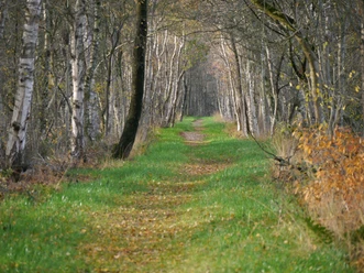
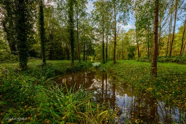
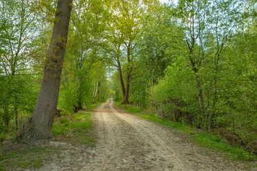
The circular hiking route starts at the junction of Bauernhörne from Osterschepser Straße. Immediately at the beginning of Bauernhörne on the left is the memorial for the war dead and the mighty "Peace Oak" located there. Following the avenue-like clinker brick street Bauernhörne, the elevation "Osterschepser Esch" becomes clearly visible on the right after a few meters (information on information board). Before hiking the "Esch", the route continues along Bauernhörne. Long-established "Hausmann- and Köterstellen" farms are located on both sides of the street, as the first settlement of Osterscheps took place here on the edge of the Esch. After the last farm, turn right into Plackhoff, a gravel path leading at the foot of the Esch into the floodplain. After a few hundred meters, the "Karlsbrücke" is reached, from which one can wonderfully observe the "Aue" with its lowlands as well as the "Osterschepser Esch" to the north. It is hard to believe that in the 19th century, seaworthy ships built in Edewecht were transported via this small river to the North Sea. A captain from Edewecht even sailed with one of these ships to New Zealand and Australia and back. From here, the route continues on the tree-lined gravel path to Baven Water street. Here there are two options: straight ahead leads the longer route of about seven kilometers, and turning right leads the shorter route of about three and a half kilometers.

Best to visit
- suitableDepends on weather
License (master data)